
Songshutou Fm
Type Locality and Naming
Western Tianshan. The Songshutou Fm was named by Luo Fazuo et al. in 1977 and formally published by Li Yong'an et al. in 1982. The typical section is situated in Songshutoudaban in west part of Kuximuqiek (Kusongmuqiek) Mountain, Xinjiang Weiwuerzhu Zizhiqu (Xinjiang Uygur Autonomous Region). Uppermost formation (4 of 4) of the Kusongmuqiek Gr.
Synonym: (松树头组)
Lithology and Thickness
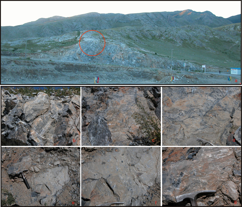
Lower part is dominantly composed of thin- to medium-bedded dolomitic limestone and dolomite, bearing black to gray lenses and bandings of chert. Upper part consists of medium-bedded limestone and dolomitic limestone bearing stromatolites, intercalated with massive stromatolite-reef limestone and siltstone. The total thickness is 150 to 395 m.
[Figure: Outcrop photo of Songshutou Fm]
Relationships and Distribution
Lower contact
The base rests conformably on the underlying Sitaishan Fm (Sitai Fm) (Jixian System; Mesoproterozoic).
Upper contact
The top is unconformably overlain by the Sinian tillite of Kulutieliekti Fm (base of Kailakti Gr). In Kokirqin Mountain area there are tillite-type pebbles of pebbly tuff and basic volcanic rock on the unconformable surface.
Regional extent
Western Tianshan. The Songshutou Fm is mainly distributed south of the Kuximuqiek River (southwest of Jinghe County), west part of Kuximuqiek (Kusongmuqiek) Mountain, westward to Songshutoudaban and the south bank of Sayram Lake in Xinjiang.
GeoJSON
Fossils
Stromatolites include Baicalia cf. lecera, Jurusania f., Colonnella f., Conophyton f. etc.; oncolite includes Osagia f., and microplants include Trachysphaeridium incrassatum, T. hyalinum, T. cultum, T. simplex, Asperatopsophosphaera baulinsis, Pseudozonosphaera uerrucosa, P. asperella, P. sinica, Taeniatum simplex, Polyporata sp., Pterospermopsimorpha sp. etc.
Age
Depositional setting
Additional Information